Cantabria by Bike

Tour of the Eastern Massif of Picos de Europa, from Tama

Route 48

By: Javier Tovar, Pedro Ceballos, and Michael González Harbour


Map

Basic Data


Kilometers/Miles
67 /42
Cumulative ascent: meters/feet
2392 / 7846
Maximum height: meters/feet
1479 / 4851
Duration
9 hours
Beginning and end location
Tama
Difficulty
Very high
Month
September 2007
Recommended period
Summer

Profile

Pictures


foto1
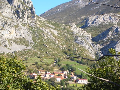
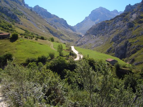
View of Cabañes, with the ascento towards the pass of Pelea, behind

foto2
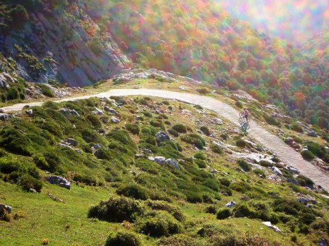
The steep slope towards the pass of Pelea

foto 3
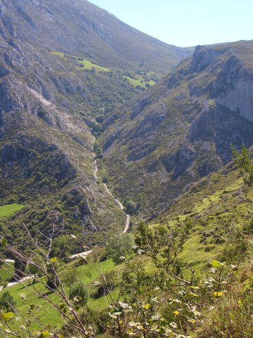
  We take a small detour to see the path that comes from Lebeña
foto 4
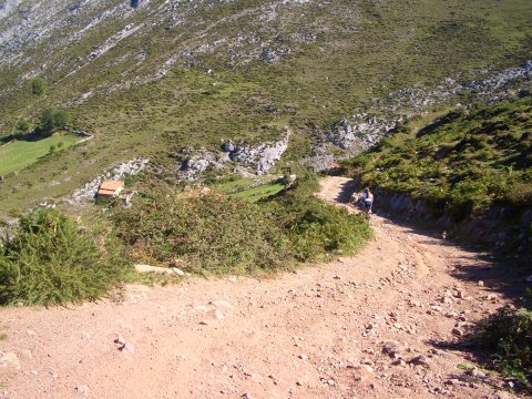
  The descent to Bejes, very steep

foto 5
A view of the descent from the pass of Pelea, as seen from Bejes

foto 6
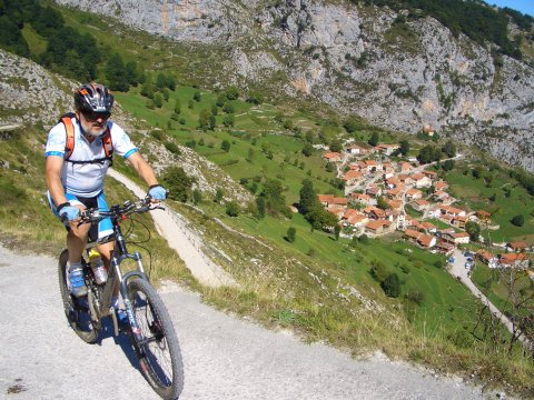
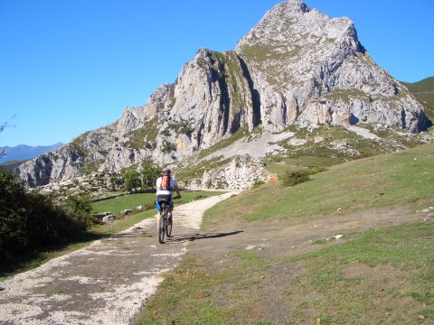
Going up from Bejes to the "Saltu la Cabra"

foto 7
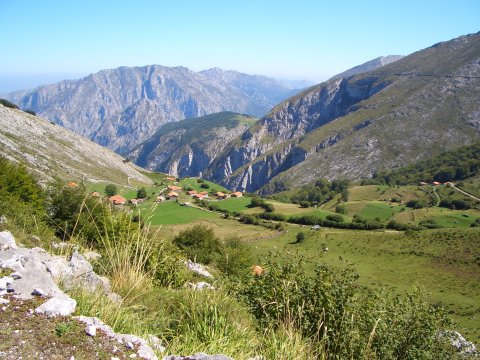
  The Majada de la Llama, over the canyon of river Urdón

foto 8
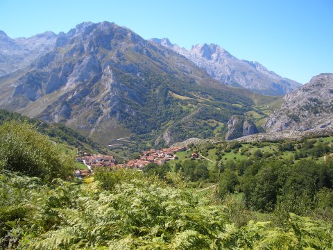
The village of Sotres, with the pass of Pandébano to the right
foto 9
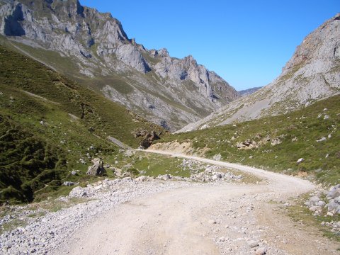
  The first section of the track that goes up to the heights of Áliva

foto 10
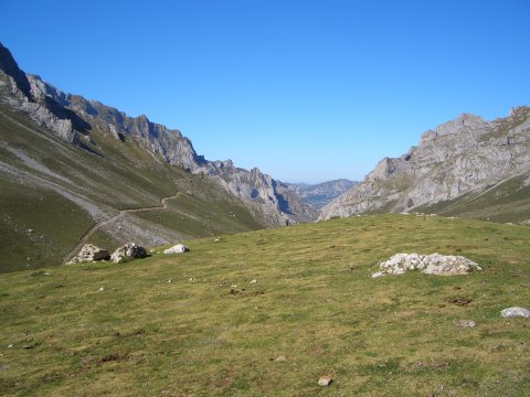
  A look back during the ascent to Áliva
foto 11
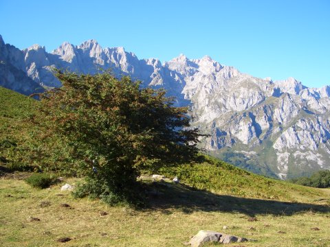
  The heights of Áliva

foto 12
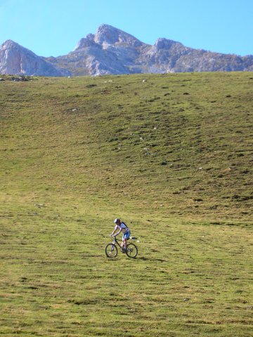
  We do a little bit of cross-country in Áliva

foto 13
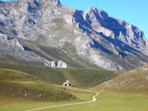
  The heremitage of Our Lady of the Health (or of the Santuca de Áliva),
built on the high glacial moraines of Áliva
foto 14
View of the Picos de Europa from the peak of Oviedo

Downloads

To open the route in Google Earth click on the 'KMZ' link and select 'Open with Goole Earth' (requires prior installation of Google Earth). To download a route, right-click on the link and select 'save link as' or a similar option.

Instructions

See the instructions and disclaimer, as well as other routes, in the main page.