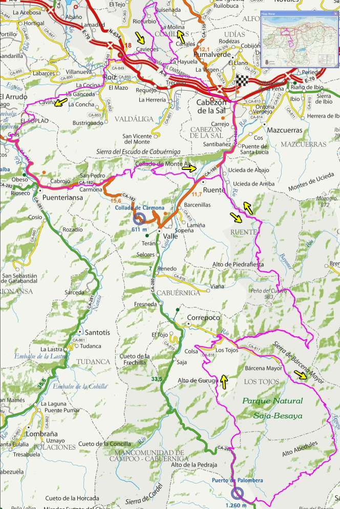
| Kilometers/Miles |
164 / 102 |
| Cumulative ascent: meters/feet |
4794 / 15724 |
| Maximum height: meters/feet |
1272 / 4172 |
| Duration |
14:47 hours |
| Beginning and end location |
Cabezón de la Sal |
| Difficulty |
Extreme |
| Month |
May 2008 |
| Recommended period |
Spring, summer, autum |
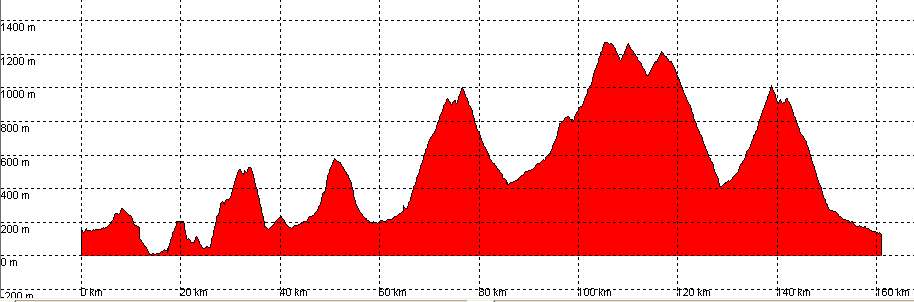
 We give our best wishes to the fellow participants. We are almost 700 bikers in Cabezón de la Sal! |
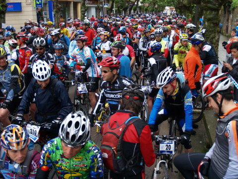
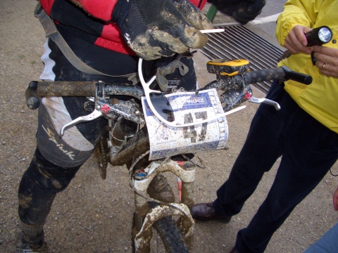
 The ascent known as "las Lastras", covered in mud, makes us walk in some sections |
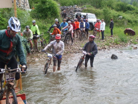 We cross the river Quivierda, near Carmona. We were already wet, so a little more water doesn't mind |
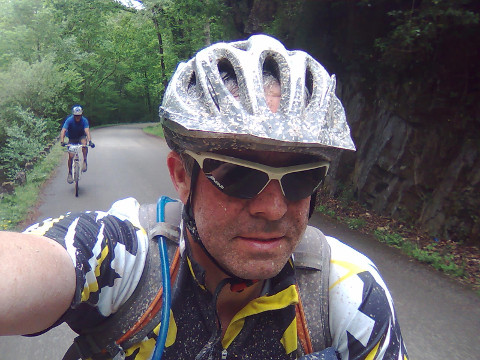
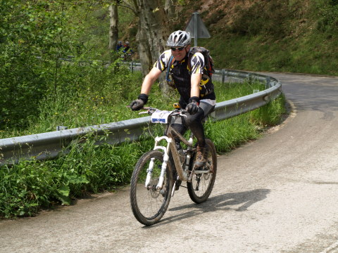 This is me, near the ascent to Mount Aa |
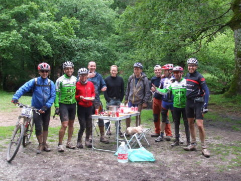 The group of friends from ForoCantabriaMTB with whom I trained. They had organized a banquet in Ucieda! |
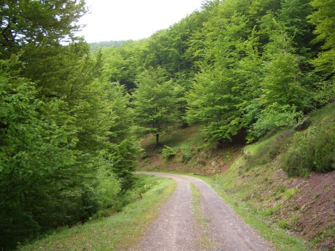 The hard ascent to the pass of Cruz de Fuentes crosses an impressive forest |
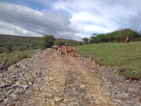
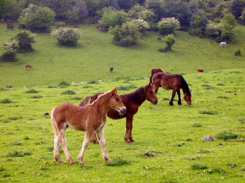 We find lots of horses, near the pass of Cruz de Fuentes |
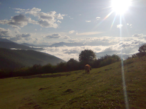
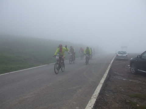 The fog covers the pass of Palombera |
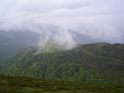 The views of the deep valley, as seen from the ascent to Venta Vieja, are impressive |
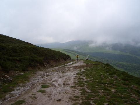 The ascent to Venta Vieja, in its final section, now with less mud |
 Putting the lights on the bike, to start the last ascento to el Moral |
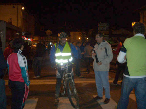 Arriving in Cabezón, at dark, at 22:47. |
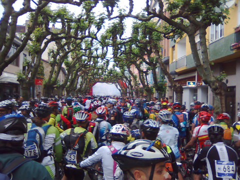 We are 1200 bikers at the start in Cabezón |
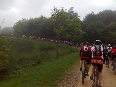 We form a long line of cyclists while we climb up Monte Corona |
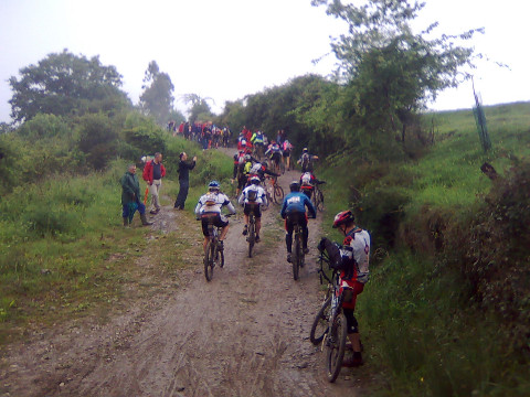 With the initial ramps of La Cocina the "hell" begins |
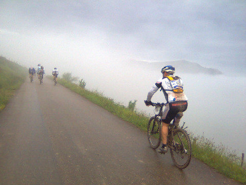 When we exit the fog near La Florida we get beautiful views |
 Some sun rays start to warm us up. It is a good biking day |
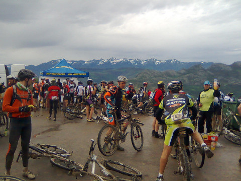 From the parking of El Soplao we can see Peña Sagra, still with a little snow |
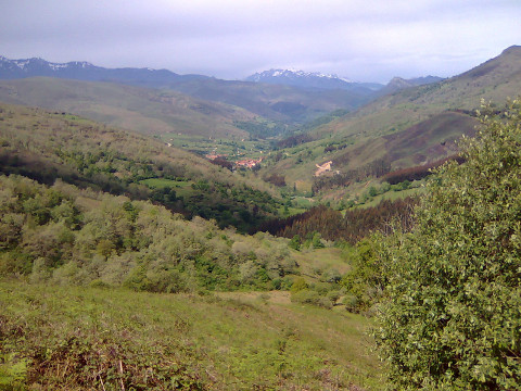 During the ascent to Monte Aa we enjoy the views of Carmona, with the Picos de Europa behind |
 This is me, near Ucieda |
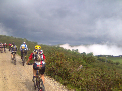
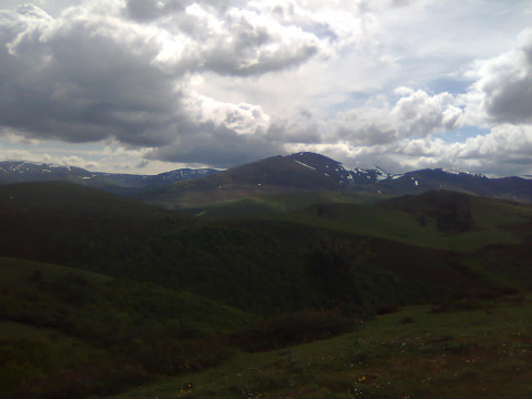 The clouds cover the mountains |
 The track of Venta Vieja has dried up and we can cycle on it |
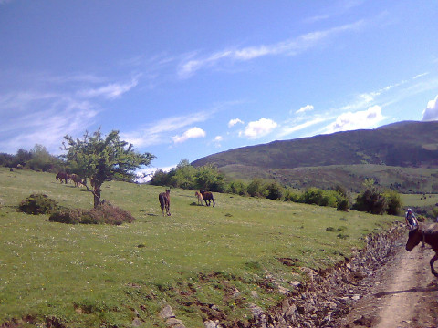 We share the ascent with a herd of horses |
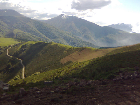 The views from Venta Vieja are just great |
 The last ascent to El Moral, with the evening light |
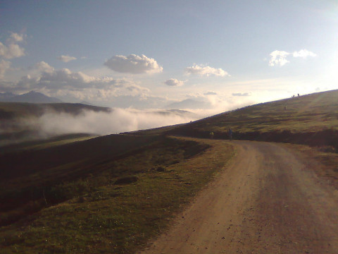 To go down to Cabezón we must go into the cold fog, but it doesn't matter: we have the end at the reach of our finger tips |